
Willapa Hills Trail topographic map
Interactive map
Click on the map to display elevation.
About this map
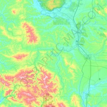
Name: Willapa Hills Trail topographic map, elevation, terrain.
Location: Willapa Hills Trail, Ceres, Lewis County, Washington, USA (46.53662 -123.78913 46.68518 -122.97050)
Average elevation: 207 m
Minimum elevation: 10 m
Maximum elevation: 927 m