Geolocate

Wilderness topographic map

Click on the map to display elevation.

About this map

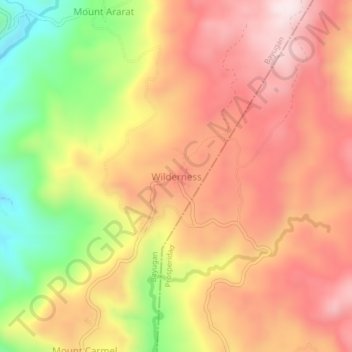
Name: Wilderness topographic map, elevation, terrain.

Location: Wilderness, Bayugan, Agusan del Sur, Caraga, Philippines (8.78691 125.81934 8.82691 125.85934)

Average elevation: 619 m

Minimum elevation: 299 m

Maximum elevation: 842 m

Other topographic maps

Click on a map to view its topography, its elevation and its terrain.

Wawa Dam

Philippines > Agusan del Sur > Bayugan

Average elevation: 78 m

Gear up for your next adventure:

🔦LED Headlamp - Hands-free lighting for early morning starts or late finishes
🧴Waterproofing Spray - Restore the DWR coating on jackets and tents
💧Reusable Water Bottle - Durable water bottles for hydration on trails
💡LED Camping Lantern - Illuminate your campsite with long-lasting lanterns
🧢Hiking Hat - Sun-protective and breathable hats for long treks

As an Amazon Associate, this site earns from qualifying purchases at no extra cost to you.