
Borja topographic map
Interactive map
Click on the map to display elevation.
About this map
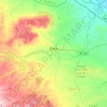
Name: Borja topographic map, elevation, terrain.
Location: Borja, Campo de Borja, Zaragoza, Aragón, España (41.72854 -1.62883 41.92097 -1.47942)
Average elevation: 503 m
Minimum elevation: 249 m
Maximum elevation: 942 m