
Geiersberg topographic map
Click on the map to display elevation.
Geiersberg
Bartelsmühle | Berg | Blumenaumühle | Brandstein | Bruck | Bruckmühle | Bug | Eisenbühl | Erzengel | Feldmühle | Geiersberg | Gottsmannsgrün | Gupfen | Hadermannsgrün | Holler | Lerchenhaag | Lohwiese | Ludwigshöhe | Maihof | Mitteltiefengrün | Moos | Obertiefengrün | Rothleiten | Rudolphstein | Sachsenvorwerk | Schnarchenreuth | Steinbühl | Steingrün | Tiefengrün | Untertiefengrün | Wacholderreuth | Waldlust | Weißenbachmühle | Wiesenhaus
About this map
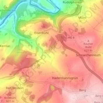
Name: Geiersberg topographic map, elevation, terrain.
Average elevation: 556 m
Minimum elevation: 415 m
Maximum elevation: 645 m