Geolocate

Thengakal topographic map

Click on the map to display elevation.

About this map

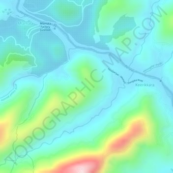
Name: Thengakal topographic map, elevation, terrain.

Location: Thengakal, Keerikkara, Peerumade, Idukki, Kerala, India (9.60573 77.04988 9.61791 77.06703)

Average elevation: 859 m

Minimum elevation: 780 m

Maximum elevation: 1,127 m

Gear up for your next adventure:

🪑Insulated Seat Pad - Protect your seat from cold rocks and wet logs
🎒Fully Waterproof Backpack - Total protection for photography gear and electronics
🧦Thermal Socks - Warm socks for winter hiking or camping
🔨Vehicle Emergency Tool - Safety tool for remote road trips to trailheads
🧼Biodegradable Camp Soap - Environmentally friendly cleaning for gear and body

As an Amazon Associate, this site earns from qualifying purchases at no extra cost to you.