
Salese topographic map
Interactive map
Click on the map to display elevation.
About this map
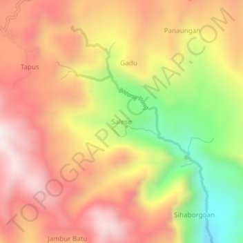
Name: Salese topographic map, elevation, terrain.
Location: Salese, Tapanuli Selatan, Sumatra du Nord, Indonésie (1.59611 99.35687 1.63611 99.39687)
Average elevation: 1,022 m
Minimum elevation: 516 m
Maximum elevation: 1,388 m