Geolocate

Hour topographic map

Click on the map to display elevation.

About this map

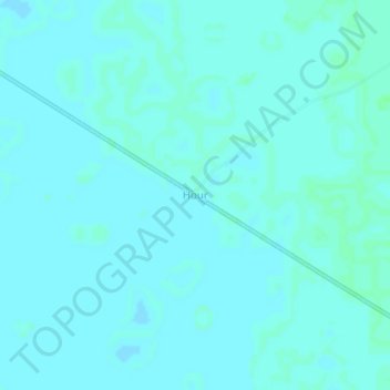
Name: Hour topographic map, elevation, terrain.

Location: Hour, Chari-Baguirmi, Chad (10.31688 17.16453 10.35688 17.20453)

Average elevation: 343 m

Minimum elevation: 341 m

Maximum elevation: 346 m

Gear up for your next adventure:

🥾Hiking Shorts - Breathable shorts suitable for summer hikes
🧤Thermal Hiking Gloves - Grip-enhanced gloves for cold-weather altitude trekking
💧Reusable Water Bottle - Durable water bottles for hydration on trails
🧦Hiking Liner Socks - Thin base layer to prevent friction and blisters
🛶Kayak Accessories - Essential gear for safe and fun kayaking adventures

As an Amazon Associate, this site earns from qualifying purchases at no extra cost to you.