
Colts Neck topographic map
Interactive map
Click on the map to display elevation.
About this map
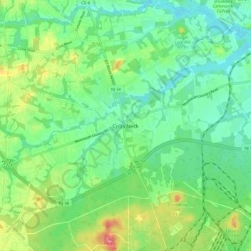
Name: Colts Neck topographic map, elevation, terrain.
Location: Colts Neck, Monmouth County, New Jersey, 07722, USA (40.24761 -74.21237 40.32761 -74.13237)
Average elevation: 32 m
Minimum elevation: 8 m
Maximum elevation: 83 m