Geolocate

Evitar topographic map

Click on the map to display elevation.

About this map

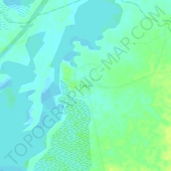
Name: Evitar topographic map, elevation, terrain.

Location: Evitar, Mahates, Dique, Bolívar, RAP Caribe, Colombia (10.25216 -75.17951 10.29216 -75.13951)

Average elevation: 6 m

Minimum elevation: -1 m

Maximum elevation: 17 m

Gear up for your next adventure:

💧Filtered Water Bottle - Safe drinking water on the go
🥾Light Trekking Boots - Supportive boots for multi-day treks
🥾Waterproof Hiking Shoes - Durable shoes for wet and rugged trails
🪑Ultralight Camping Stool - Compact seating for rest stops during long hikes
🧤Rechargeable Heated Gloves - Extreme warmth for Canadian winter expeditions

As an Amazon Associate, this site earns from qualifying purchases at no extra cost to you.