Geolocate

Payapag topographic map

Click on the map to display elevation.

About this map

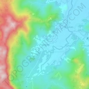
Name: Payapag topographic map, elevation, terrain.

Location: Payapag, Bacuag, Surigao del Norte, Caraga, Philippines (9.52983 125.60004 9.56983 125.64004)

Average elevation: 116 m

Minimum elevation: 8 m

Maximum elevation: 397 m

Gear up for your next adventure:

🥾Hiking Gaiters - Protect legs and shoes from mud, snow, and debris
🧳Compression Sacks - Maximize space in your backpack by shrinking gear
Bushcraft Tarp - Versatile emergency shelter or gear protection
🥾Mountaineering Boots - Supportive boots for climbing and high-altitude hiking
🧭GPS Handheld Device - Reliable GPS navigation for outdoor adventures

As an Amazon Associate, this site earns from qualifying purchases at no extra cost to you.