Geolocate

Trelleborg topographic map

Click on the map to display elevation.

About this map

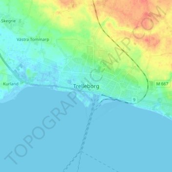
Name: Trelleborg topographic map, elevation, terrain.

Location: Trelleborg, Trelleborgs kommun, Skåne County, 231 61, Sweden (55.33592 13.10615 55.41592 13.18615)

Average elevation: 9 m

Minimum elevation: -3 m

Maximum elevation: 44 m

Other topographic maps

Click on a map to view its topography, its elevation and its terrain.

Kristianstads kommun

Sweden > Skåne County

Average elevation: 57 m

Perstorps kommun

Sweden > Skåne County

Average elevation: 100 m

Åhus

Sweden > Skåne County

Average elevation: 5 m

Gear up for your next adventure:

🔭Outdoor Binoculars - Lightweight binoculars for birdwatching and hiking
🪑Ultralight Camping Stool - Compact seating for rest stops during long hikes
Family Camping Tent - Spacious tent suitable for family camping trips
🏃Hydration Running Vest - Carry water and maps close to your body for speed
🥾Trail Hiking Shoes - Durable shoes designed for rugged trails

As an Amazon Associate, this site earns from qualifying purchases at no extra cost to you.