
ولسوالی بکواه topographic map
Interactive map
Click on the map to display elevation.
About this map
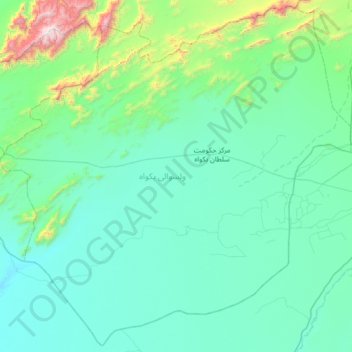
Name: ولسوالی بکواه topographic map, elevation, terrain.
Location: ولسوالی بکواه, Farah, Afghanistan (31.93039 62.54210 32.48052 63.21682)
Average elevation: 859 m
Minimum elevation: 626 m
Maximum elevation: 2,515 m