
Thank you for supporting this site ❤️
Make a donation
Make a donation
Gear up for your next adventure:
As an Amazon Associate, this site earns from qualifying purchases at no extra cost to you.
Escalera topographic map
Click on the map to display elevation.
Thank you for supporting this site ❤️
Make a donation
Make a donation
Gear up for your next adventure:
As an Amazon Associate, this site earns from qualifying purchases at no extra cost to you.
About this map
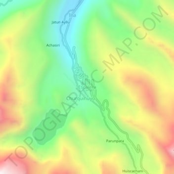
Name: Escalera topographic map, elevation, terrain.
Location: Escalera, Ayapata, Province of Carabaya, Puno, Peru (-13.86201 -70.34388 -13.82201 -70.30388)
Average elevation: 3,993 m
Minimum elevation: 3,520 m
Maximum elevation: 4,624 m
Thank you for supporting this site ❤️
Make a donation
Make a donation
Gear up for your next adventure:
As an Amazon Associate, this site earns from qualifying purchases at no extra cost to you.