Geolocate

Fort Carson topographic map

Click on the map to display elevation.

About this map

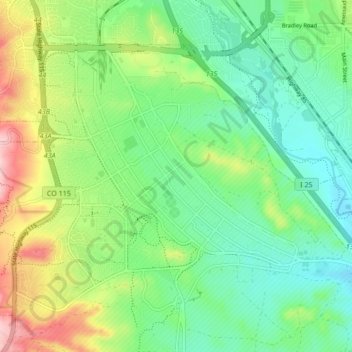
Name: Fort Carson topographic map, elevation, terrain.

Location: Fort Carson, El Paso County, Colorado, United States (38.71637 -104.81865 38.76695 -104.73373)

Average elevation: 1,786 m

Minimum elevation: 1,725 m

Maximum elevation: 1,911 m

Gear up for your next adventure:

🧥Insulated Jacket - Keep warm in cold outdoor conditions
💧Hydration Pack - Hands-free hydration system for long hikes
🕯️Camping Lantern - Illuminates your entire campsite with high-efficiency LEDs
🛏️Sleeping Bag - Warm and compact sleeping bags for outdoor camping
🛌Down Sleeping Bag - Superior warmth-to-weight ratio for cold nights

As an Amazon Associate, this site earns from qualifying purchases at no extra cost to you.