Geolocate

Aari topographic map

Click on the map to display elevation.

About this map

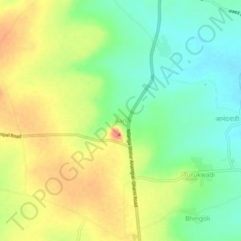
Name: Aari topographic map, elevation, terrain.

Location: Aari, Shirur-Anantpal, Latur, Maharashtra, 413544, India (18.32315 76.77685 18.36315 76.81685)

Average elevation: 618 m

Minimum elevation: 581 m

Maximum elevation: 665 m

Gear up for your next adventure:

Camping Coffee Maker - Brew fresh coffee anywhere on the topographic map
🌡️Emergency Mylar Blankets - Compact thermal protection for unexpected nights outdoors
💧Filtered Water Bottle - Safe drinking water on the go
❄️Traction Ice Cleats - Slip-on spikes for icy trails and winter hiking
💡Compact LED Flashlight - Powerful and portable flashlight for outdoor use

As an Amazon Associate, this site earns from qualifying purchases at no extra cost to you.