Geolocate

Gagnone topographic map

Click on the map to display elevation.

About this map

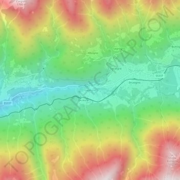
Name: Gagnone topographic map, elevation, terrain.

Location: Gagnone, Druogno, Verbano-Cusio-Ossola, Piemonte, 28857, Italia (46.11068 8.39958 46.15068 8.43958)

Average elevation: 1,096 m

Minimum elevation: 660 m

Maximum elevation: 1,696 m

Gear up for your next adventure:

💧Reusable Water Bottle - Durable water bottles for hydration on trails
🥾Trail Hiking Socks - Comfortable socks to prevent blisters and fatigue
🥘Camping Cookware Set - Compact nesting pots and pans for trail cooking
🥾Mountain Hiking Shoes - Shoes with superior grip for mountainous terrain
🥾All-Terrain Hiking Boots - Versatile boots for varied hiking conditions

As an Amazon Associate, this site earns from qualifying purchases at no extra cost to you.