
Libreville topographic map
Interactive map
Click on the map to display elevation.
About this map
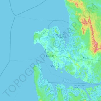
Name: Libreville topographic map, elevation, terrain.
Location: Libreville, Estuaire Province, Gabon (0.15471 9.10315 0.75345 9.97305)
Average elevation: 15 m
Minimum elevation: -3 m
Maximum elevation: 281 m