
Fanjing Mountain topographic map
Click on the map to display elevation.
Fanjing Mountain
The Fanjingshan (Chinese: 梵净山; pinyin: Fànjìngshān) or Mount Fanjing, located in Tongren, Guizhou province, is the highest peak of the Wuling Mountains in southeastern China, at an elevation of 2,570 m (8,430 ft). The Fanjingshan National Nature Reserve was established in 1978 and designated a UNESCO Biosphere Reserve in 1986. Fanjingshan is a sacred mountain in Chinese Buddhism, considered to be the bodhimaṇḍa of the Maitreya Buddha. It became a UNESCO World Heritage Site in 2018.
About this map
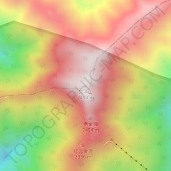
Name: Fanjing Mountain topographic map, elevation, terrain.
Average elevation: 2,054 m
Minimum elevation: 1,466 m
Maximum elevation: 2,459 m