Geolocate

Giarolo topographic map

Click on the map to display elevation.

About this map

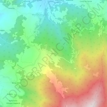
Name: Giarolo topographic map, elevation, terrain.

Location: Giarolo, Montacuto, Alessandria, Piemonte, 15054, Italia (44.73190 9.09344 44.77190 9.13344)

Average elevation: 792 m

Minimum elevation: 438 m

Maximum elevation: 1,375 m

Gear up for your next adventure:

🎒Hiking Backpack - Lightweight and ergonomic backpacks for day hikes or multi-day treks
🧤Rechargeable Heated Gloves - Extreme warmth for Canadian winter expeditions
🚲Bike Repair Kit - Essential tools for on-trail mechanical issues
🦯Trekking Poles - Reduced impact on joints for steep topographic climbs
🧥Ultralight Puffy Jacket - Maximum warmth that packs down to the size of an orange

As an Amazon Associate, this site earns from qualifying purchases at no extra cost to you.