Geolocate

Gass topographic map

Click on the map to display elevation.

About this map

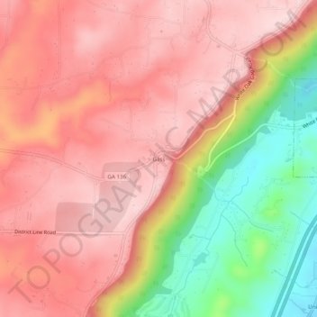
Name: Gass topographic map, elevation, terrain.

Location: Gass, Trenton, Dade County, Georgia, 30752, United States (34.84369 -85.56913 34.88369 -85.52913)

Average elevation: 400 m

Minimum elevation: 230 m

Maximum elevation: 492 m

Gear up for your next adventure:

🎒Backpack Rain Cover - External shield to keep your entire pack dry
🧢Hiking Sun Hat - Wide-brimmed protection for exposed mountain ridges
🧦Hiking Liner Socks - Thin base layer to prevent friction and blisters
❄️Traction Ice Cleats - Slip-on spikes for icy trails and winter hiking
🧣Merino Neck Gaiter - Protects against wind, sun, and cold at high altitudes

As an Amazon Associate, this site earns from qualifying purchases at no extra cost to you.