Geolocate

Sidorejo topographic map

Click on the map to display elevation.

About this map

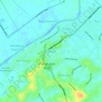
Name: Sidorejo topographic map, elevation, terrain.

Location: Sidorejo, West Kotawaringin, Central Kalimantan, Kalimantan, 74111, Indonesia (-2.69961 111.61374 -2.65961 111.65374)

Average elevation: 8 m

Minimum elevation: -5 m

Maximum elevation: 32 m

Other topographic maps

Click on a map to view its topography, its elevation and its terrain.

Gear up for your next adventure:

🥾Waterproof Hiking Shoes - Durable shoes for wet and rugged trails
🥾Trail Running Boots - Durable shoes designed for trail running
🕶️Polarized Sunglasses - Reduces glare from snow and water at high elevations
🚑Survival Whistle - Signal for help across long distances in mountains
🩹Compact First Aid Kit - Pre-packed essentials for common trail injuries

As an Amazon Associate, this site earns from qualifying purchases at no extra cost to you.