Geolocate

Bhimashankar topographic map

Click on the map to display elevation.

About this map

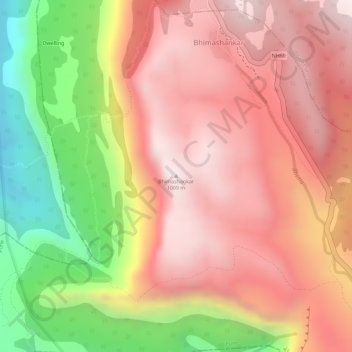
Name: Bhimashankar topographic map, elevation, terrain.

Location: Bhimashankar, Khed, Maharashtra, India (19.06172 73.53225 19.06182 73.53235)

Average elevation: 741 m

Minimum elevation: 250 m

Maximum elevation: 1,031 m

Gear up for your next adventure:

🧥Thermal Layer - Insulating layer for cold outdoor conditions
🕶️Polarized Sunglasses - Reduces glare from snow and water at high elevations
🔦LED Headlamp - Hands-free lighting for early morning starts or late finishes
Lightweight Camping Tent - Portable shelter optimized for Canadian backcountry camping
🛶Waterproof Dry Bags - Keep electronics and clothes dry during river crossings

As an Amazon Associate, this site earns from qualifying purchases at no extra cost to you.