Geolocate

Esperanza topographic map

Click on the map to display elevation.

About this map

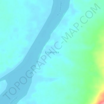
Name: Esperanza topographic map, elevation, terrain.

Location: Esperanza, Río Santiago, Condorcanqui, Amazonas, Perú (-3.77467 -77.73117 -3.73467 -77.69117)

Average elevation: 194 m

Minimum elevation: 181 m

Maximum elevation: 273 m

Gear up for your next adventure:

🧥Thermal Layer - Insulating layer for cold outdoor conditions
🪑Insulated Seat Pad - Protect your seat from cold rocks and wet logs
🧢Sun Protection Cap - Breathable cap to protect from sun exposure
💧Filtered Water Bottle - Safe drinking water on the go
🍽️Titanium Camping Spork - Ultralight and indestructible eating utensil

As an Amazon Associate, this site earns from qualifying purchases at no extra cost to you.