
San Juanero topographic map
Interactive map
Click on the map to display elevation.
About this map
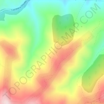
Name: San Juanero topographic map, elevation, terrain.
Location: San Juanero, Oncala, Soria, Castilla y León, España (41.95372 -2.29298 41.97372 -2.27298)
Average elevation: 1,377 m
Minimum elevation: 1,201 m
Maximum elevation: 1,574 m