
Sluten topographic map
Interactive map
Click on the map to display elevation.
About this map
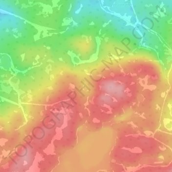
Name: Sluten topographic map, elevation, terrain.
Location: Sluten, Åre kommun, Provincia de Jämtland, Suecia (63.27362 13.45249 63.27526 13.45445)
Average elevation: 586 m
Minimum elevation: 505 m
Maximum elevation: 643 m