Geolocate

Dublin 12 topographic map

Click on the map to display elevation.

About this map

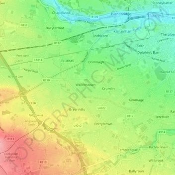
Name: Dublin 12 topographic map, elevation, terrain.

Location: Dublin 12, Dublin, South Dublin, Dublin 12, Leinster, Ireland (53.30380 -6.38268 53.33726 -6.27582)

Average elevation: 50 m

Minimum elevation: 2 m

Maximum elevation: 117 m

Other topographic maps

Click on a map to view its topography, its elevation and its terrain.

Dublin

Ireland > Dublin

Average elevation: 19 m

Grand Canal Dock

Ireland > Dublin

Average elevation: 8 m

Dartmouth Square

Ireland > Dublin

Average elevation: 18 m

Dubh Linn Garden

Ireland > Dublin

Average elevation: 16 m

Bushy Park

Ireland > Dublin

Average elevation: 51 m

Gear up for your next adventure:

🕶️Polarized Sunglasses - Reduces glare from snow and water at high elevations
Backpacking Tent - Lightweight tent for long-distance hiking trips
Camping Coffee Maker - Brew fresh coffee anywhere on the topographic map
🐕Hiking Dog Pack - Let your canine companion carry their own water and food
🧊Insulated Water Bottle - Keeps drinks cold in summer and prevents freezing in winter

As an Amazon Associate, this site earns from qualifying purchases at no extra cost to you.