Geolocate

Highland topographic map

Click on the map to display elevation.

About this map

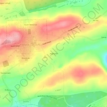
Name: Highland topographic map, elevation, terrain.

Location: Highland, Luzerne County, Pennsylvania, 18224, United States (40.99342 -75.90270 41.03342 -75.86270)

Average elevation: 533 m

Minimum elevation: 456 m

Maximum elevation: 602 m

Gear up for your next adventure:

Bushcraft Tarp - Versatile emergency shelter or gear protection
💧Hydration Pack - Hands-free hydration system for long hikes
🧢Sun Hat - Wide-brim hat for sun protection
🧢Hiking Hat - Sun-protective and breathable hats for long treks
🧣Merino Neck Gaiter - Protects against wind, sun, and cold at high altitudes

As an Amazon Associate, this site earns from qualifying purchases at no extra cost to you.