
Ngadipuro topographic map
Click on the map to display elevation.
About this map
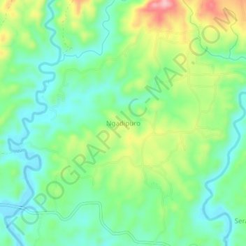
Name: Ngadipuro topographic map, elevation, terrain.
Location: Ngadipuro, Blitar, East Java, Indonesia (-8.31928 112.17796 -8.27928 112.21796)
Average elevation: 64 m
Minimum elevation: 6 m
Maximum elevation: 179 m