
Thank you for supporting this site ❤️
Make a donation
Make a donation
Gear up for your next adventure:
As an Amazon Associate, this site earns from qualifying purchases at no extra cost to you.
Brahmpuri topographic map
Click on the map to display elevation.
Thank you for supporting this site ❤️
Make a donation
Make a donation
Gear up for your next adventure:
As an Amazon Associate, this site earns from qualifying purchases at no extra cost to you.
About this map
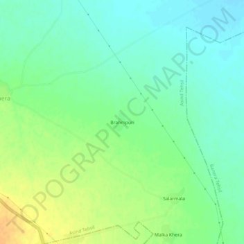
Name: Brahmpuri topographic map, elevation, terrain.
Location: Brahmpuri, Asind Tehsil, Bhilwara, Rajasthan, India (25.55721 74.48284 25.59721 74.52284)
Average elevation: 451 m
Minimum elevation: 439 m
Maximum elevation: 468 m
Thank you for supporting this site ❤️
Make a donation
Make a donation
Gear up for your next adventure:
As an Amazon Associate, this site earns from qualifying purchases at no extra cost to you.