
Mhasvad topographic map
Click on the map to display elevation.
About this map
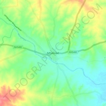
Name: Mhasvad topographic map, elevation, terrain.
Location: Mhasvad, Man, Satara, Maharashtra, 415509, India (17.59604 74.74722 17.67604 74.82722)
Average elevation: 618 m
Minimum elevation: 593 m
Maximum elevation: 661 m