Geolocate

Sunderpur topographic map

Click on the map to display elevation.

About this map

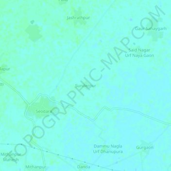
Name: Sunderpur topographic map, elevation, terrain.

Location: Sunderpur, Bilari, Moradabad, Uttar Pradesh, India (28.55054 78.86081 28.59054 78.90081)

Average elevation: 188 m

Minimum elevation: 186 m

Maximum elevation: 191 m

Gear up for your next adventure:

🌬️Windproof Camp Stove - Efficient cooking even on exposed mountain peaks
Camping Coffee Maker - Brew fresh coffee anywhere on the topographic map
🥾Hiking Boots - Sturdy boots providing ankle support and traction on rugged trails
👖Convertible Hiking Pants - Zip-off legs to adapt to changing weather conditions
🔪Outdoor Multitool - Versatile tool for repairs and food prep in the wild

As an Amazon Associate, this site earns from qualifying purchases at no extra cost to you.