
Usenge topographic map
Click on the map to display elevation.
About this map
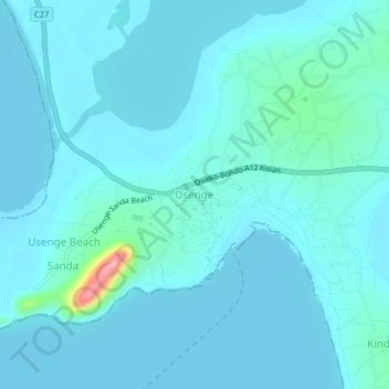
Name: Usenge topographic map, elevation, terrain.
Location: Usenge, Siaya County, Nyanza, Kenya (-0.08705 34.03651 -0.04705 34.07651)
Average elevation: 1,147 m
Minimum elevation: 1,134 m
Maximum elevation: 1,271 m