Geolocate

Sungai Putih topographic map

Click on the map to display elevation.

About this map

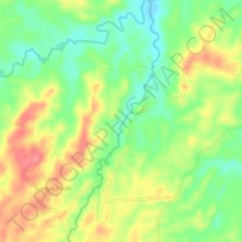
Name: Sungai Putih topographic map, elevation, terrain.

Location: Sungai Putih, Merangin, Jambi, Indonesia (-2.18786 102.27615 -2.14448 102.29256)

Average elevation: 122 m

Minimum elevation: 86 m

Maximum elevation: 161 m

Gear up for your next adventure:

🧥Thermal Layer - Insulating layer for cold outdoor conditions
🥾Hiking Boots - Sturdy boots providing ankle support and traction on rugged trails
🥾Trail Hiking Socks - Comfortable socks to prevent blisters and fatigue
🧴Sunscreen SPF - Broad-spectrum sunscreen for outdoor activities
🛶Kayak Dry Bag - Waterproof storage for kayaking adventures

As an Amazon Associate, this site earns from qualifying purchases at no extra cost to you.