Geolocate

Pajaro topographic map

Click on the map to display elevation.

Pajaro

Pajaro (Spanish Pájaro 'bird') is an unincorporated community and census-designated place (CDP) in Monterey County, California. It is located on the south bank of the Pajaro River 5 miles (8 km) northeast of its mouth, at an elevation of 26 feet (7.9 m). The population was 2,882 at the 2020 census, down from 3,070 in 2010. The school district is in Santa Cruz County.

Wikipedia (CC-BY-SA 3.0)

About this map

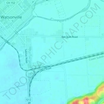
Name: Pajaro topographic map, elevation, terrain.

Location: Pajaro, Monterey County, CAL Fire Southern Region, California, United States (36.89103 -121.75438 36.90943 -121.72841)

Average elevation: 11 m

Minimum elevation: 2 m

Maximum elevation: 77 m

Gear up for your next adventure:

🥾Hiking Shorts - Breathable shorts suitable for summer hikes
🔋Solar Power Bank - Keep your GPS and devices charged during long outdoor trips
🔭Compact Monocular - One-handed bird watching and trail spotting
🌡️Emergency Mylar Blankets - Compact thermal protection for unexpected nights outdoors
🥾Trekking Poles - Adjustable trekking poles to reduce knee stress and improve stability

As an Amazon Associate, this site earns from qualifying purchases at no extra cost to you.