Geolocate

Aflou topographic map

Click on the map to display elevation.

About this map
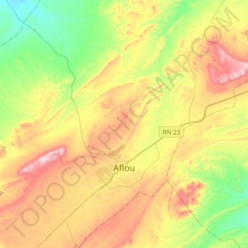
Name: Aflou topographic map, elevation, terrain.

Location: Aflou, Aflou District, Aflou, 59000, Algeria (34.04110 2.01418 34.26277 2.24284)

Average elevation: 1,385 m

Minimum elevation: 1,147 m

Maximum elevation: 1,712 m

Other topographic maps

Click on a map to view its topography, its elevation and its terrain.

Sidi Bouzid

Algeria > Aflou > Aflou District > Sidi Bouzid

Average elevation: 1,275 m

Gear up for your next adventure:

🪑Insulated Seat Pad - Protect your seat from cold rocks and wet logs
🧴Sunscreen SPF - Broad-spectrum sunscreen for outdoor activities
🥾Hiking Gaiters - Protect legs and shoes from mud, snow, and debris
🏕️Camping Hammock - Integrated protection for sleeping between trees
🧼Travel Hand Sanitizer - Keep hands clean when water is scarce

As an Amazon Associate, this site earns from qualifying purchases at no extra cost to you.