Geolocate

Anona topographic map

Click on the map to display elevation.

About this map

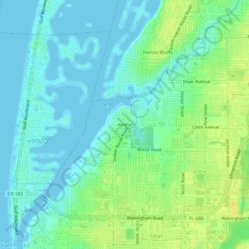
Name: Anona topographic map, elevation, terrain.

Location: Anona, Largo, Pinellas County, Florida, 33774, United States (27.87530 -82.85066 27.91530 -82.81066)

Average elevation: 9 m

Minimum elevation: -3 m

Maximum elevation: 24 m

Gear up for your next adventure:

🏃Hydration Running Vest - Carry water and maps close to your body for speed
👟Sport Hiking Sandals - Breathable footwear for water crossings and camp rest
💡Compact LED Flashlight - Powerful and portable flashlight for outdoor use
🧢Hiking Hat - Sun-protective and breathable hats for long treks
🥾Light Hiking Boots - Lightweight and comfortable boots for day hikes

As an Amazon Associate, this site earns from qualifying purchases at no extra cost to you.