
District de Hanjiang topographic map
Interactive map
Click on the map to display elevation.
About this map
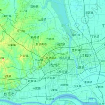
Name: District de Hanjiang topographic map, elevation, terrain.
Location: District de Hanjiang, Yangzhou, Jiangsu, 225100, Chine (32.22615 119.26582 32.66837 119.51761)
Average elevation: 12 m
Minimum elevation: -1 m
Maximum elevation: 134 m
Other topographic maps
Click on a map to view its topography, its elevation and its terrain.