
Skarszewy topographic map
Interactive map
Click on the map to display elevation.
About this map
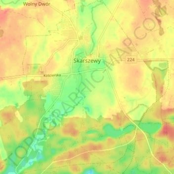
Name: Skarszewy topographic map, elevation, terrain.
Average elevation: 126 m
Minimum elevation: 97 m
Maximum elevation: 145 m
Other topographic maps
Click on a map to view its topography, its elevation and its terrain.
Starogard County
Poland > Pomeranian Voivodeship > Starogard County
Starogard County, Pomeranian Voivodeship, Poland
Average elevation: 108 m