
Koyandy pond topographic map
Interactive map
Click on the map to display elevation.
About this map
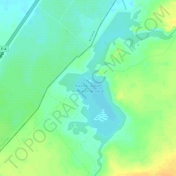
Name: Koyandy pond topographic map, elevation, terrain.
Location: Koyandy pond, Celïnograd District, Akmola Region, Kazakhstan (51.31680 71.68923 51.34081 71.72150)
Average elevation: 361 m
Minimum elevation: 350 m
Maximum elevation: 377 m