Geolocate

Saint Charles topographic map

Click on the map to display elevation.

About this map

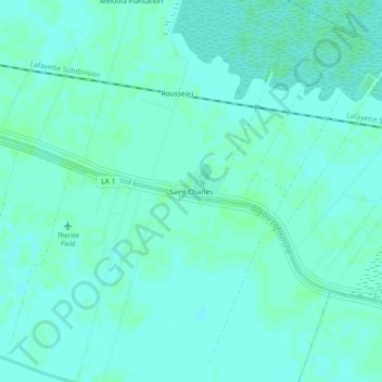
Name: Saint Charles topographic map, elevation, terrain.

Location: Saint Charles, Lafourche Parish, Louisiana, United States (29.73327 -90.74092 29.77327 -90.70092)

Average elevation: 3 m

Minimum elevation: 0 m

Maximum elevation: 5 m

Other topographic maps

Click on a map to view its topography, its elevation and its terrain.

Raceland

United States > Louisiana > Lafourche Parish

Average elevation: 2 m

Gear up for your next adventure:

🥘Camping Cookware Set - Compact nesting pots and pans for trail cooking
🥾Light Hiking Boots - Lightweight and comfortable boots for day hikes
💡Portable Camping Lamp - Rechargeable lamp for campsite lighting
🥾Waterproof Hiking Boots - Essential footwear for rugged terrain and wet Canadian trails
🪑Ultralight Camping Stool - Compact seating for rest stops during long hikes

As an Amazon Associate, this site earns from qualifying purchases at no extra cost to you.