
Guadalupe topographic map
Click on the map to display elevation.
Guadalupe
Guadalupe es una localidad peruana ubicada en la región Ica, provincia de Ica, distrito de Salas. Es asimismo capital del distrito de Salas. Se encuentra a una altitud de 430 m s. n. m. Tiene una población de 5325 habitantes en 1993.
About this map
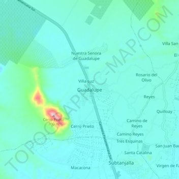
Name: Guadalupe topographic map, elevation, terrain.
Location: Guadalupe, Salas, Ica, 11500, Perú (-14.02602 -75.81292 -13.94602 -75.73292)
Average elevation: 442 m
Minimum elevation: 402 m
Maximum elevation: 735 m