Geolocate

Villanova topographic map

Click on the map to display elevation.

About this map

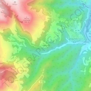
Name: Villanova topographic map, elevation, terrain.

Location: Villanova, Accumoli, Rieti, Lazio, 02011, Italy (42.67097 13.20725 42.71097 13.24725)

Average elevation: 1,041 m

Minimum elevation: 711 m

Maximum elevation: 1,568 m

Gear up for your next adventure:

💡LED Camping Lantern - Illuminate your campsite with long-lasting lanterns
🔥Camping Stove - Portable stoves to cook outdoors with ease
🦶Hiking Shoe Insoles - Added support for high arches and long days on feet
🧶550 Survival Paracord - Versatile utility cord for emergency repairs and rigging
🚲MTB Frame Bag - Carry tools and maps directly on your bicycle frame

As an Amazon Associate, this site earns from qualifying purchases at no extra cost to you.