Geolocate

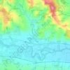
Hauzenberg topographic map

Click on the map to display elevation.

About this map
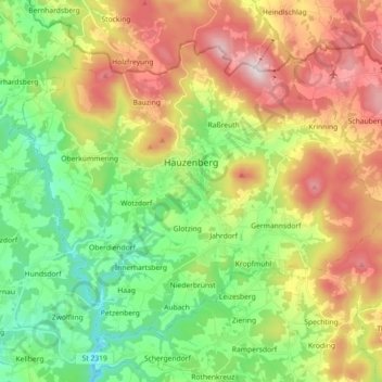
Name: Hauzenberg topographic map, elevation, terrain.

Location: Hauzenberg, Landkreis Passau, Bavaria, 94051, Germany (48.59920 13.54159 48.69297 13.72162)

Average elevation: 575 m

Minimum elevation: 332 m

Maximum elevation: 949 m

Other topographic maps

Click on a map to view its topography, its elevation and its terrain.

Mahd

Germany > Bavaria > Landkreis Passau > Hauzenberg > Germannsdorf

Average elevation: 629 m

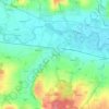
Penning

Germany > Bavaria > Landkreis Passau > Karpfham Bahnhof

Average elevation: 357 m

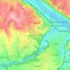
Rohrbach

Germany > Bavaria > Landkreis Passau > Hörmannsdorf

Average elevation: 402 m

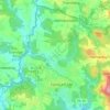
Muth

Germany > Bavaria > Landkreis Passau > Loizersdorf

Average elevation: 474 m

Gear up for your next adventure:

🧥Waterproof Pants - Keep dry during rainy hiking conditions
🥾Mountain Hiking Shoes - Shoes with superior grip for mountainous terrain
🥽Outdoor Goggles - Protective eyewear for outdoor activities
💧Collapsible Water Bottle - Space-saving water bottle for outdoor activities
🐕Hiking Dog Pack - Let your canine companion carry their own water and food

As an Amazon Associate, this site earns from qualifying purchases at no extra cost to you.