Geolocate

Hardee topographic map

Click on the map to display elevation.

About this map

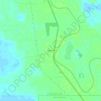
Name: Hardee topographic map, elevation, terrain.

Location: Hardee, Issaquena County, Mississippi, 39177, United States (32.57319 -90.87510 32.61319 -90.83510)

Average elevation: 28 m

Minimum elevation: 22 m

Maximum elevation: 32 m

Other topographic maps

Click on a map to view its topography, its elevation and its terrain.

Gear up for your next adventure:

🗺️Topographic Maps - Detailed maps to explore trails, mountains, and wilderness areas
🥾Hiking Shorts - Breathable shorts suitable for summer hikes
🧤Thermal Hiking Gloves - Grip-enhanced gloves for cold-weather altitude trekking
👖Convertible Hiking Pants - Zip-off legs to adapt to changing weather conditions
🥾Mountain Hiking Boots - High-traction boots for rocky terrain

As an Amazon Associate, this site earns from qualifying purchases at no extra cost to you.