Geolocate

Mayorquín topographic map

Click on the map to display elevation.

About this map

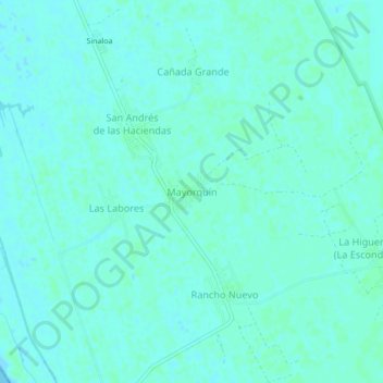
Name: Mayorquín topographic map, elevation, terrain.

Location: Mayorquín, Santiago Ixcuintla, Nayarit, 63563, Mexico (21.88652 -105.58419 21.92652 -105.54419)

Average elevation: 3 m

Minimum elevation: -1 m

Maximum elevation: 5 m

Gear up for your next adventure:

Camping Tent - Weather-resistant tents suitable for 2 to 6 people
🗺️Topographic Maps - Detailed maps to explore trails, mountains, and wilderness areas
🧴Insect Repellent - Protect yourself from bugs during outdoor adventures
🧢Beanie Hat - Keep your head warm in cold weather
Camping Essentials - All-in-one gear for a comfortable camping trip

As an Amazon Associate, this site earns from qualifying purchases at no extra cost to you.