Geolocate

Bussi topographic map

Click on the map to display elevation.

About this map

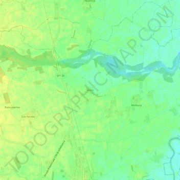
Name: Bussi topographic map, elevation, terrain.

Location: Bussi, Villafranca Piemonte, Torino, Piemonte, 10067, Italia (44.78615 7.48952 44.82615 7.52952)

Average elevation: 256 m

Minimum elevation: 245 m

Maximum elevation: 263 m

Gear up for your next adventure:

🦟Insect Repellent - Keep mosquitoes and black flies away in wooded areas
Bushcraft Tarp - Versatile emergency shelter or gear protection
🍽️Titanium Camping Spork - Ultralight and indestructible eating utensil
🔭Compact Binoculars - Lightweight optics for scouting trails and wildlife
💧Hydration Pack - Hands-free hydration system for long hikes

As an Amazon Associate, this site earns from qualifying purchases at no extra cost to you.