Geolocate

Magapo topographic map

Click on the map to display elevation.

About this map

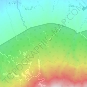
Name: Magapo topographic map, elevation, terrain.

Location: Magapo, Tabaco, Albay, Bicol Region, 4511, Philippines (13.28583 123.65113 13.32583 123.69113)

Average elevation: 378 m

Minimum elevation: 150 m

Maximum elevation: 793 m

Other topographic maps

Click on a map to view its topography, its elevation and its terrain.

Gear up for your next adventure:

🧰Multitool Knife - Compact and versatile tool for outdoor use
🥾Hiking Shorts - Breathable shorts suitable for summer hikes
Camping Groundsheet - Protect your tent from moisture and dirt
🧴Waterproofing Spray - Restore the DWR coating on jackets and tents
🥾Trail Hiking Shoes - Durable shoes designed for rugged trails

As an Amazon Associate, this site earns from qualifying purchases at no extra cost to you.