Geolocate

Ganado topographic map

Click on the map to display elevation.

About this map

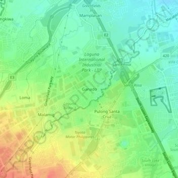
Name: Ganado topographic map, elevation, terrain.

Location: Ganado, Biñan, Laguna, Calabarzon, 4024, Philippines (14.26322 121.05941 14.30322 121.09941)

Average elevation: 37 m

Minimum elevation: 15 m

Maximum elevation: 70 m

Gear up for your next adventure:

👖Convertible Hiking Pants - Zip-off legs to adapt to changing weather conditions
🧥Packable Rain Jacket - Breathable waterproof layer for unpredictable weather
🧥Softshell Hiking Jacket - The perfect balance of wind protection and breathability
🎒Fully Waterproof Backpack - Total protection for photography gear and electronics
🥾Mountain Trail Shoes - High-traction shoes for mountain trails

As an Amazon Associate, this site earns from qualifying purchases at no extra cost to you.