Geolocate

Lanza topographic map

Click on the map to display elevation.

About this map

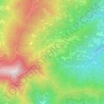
Name: Lanza topographic map, elevation, terrain.

Location: Lanza, Busca, Cuneo, Piemonte, Italia (44.49571 7.35635 44.53571 7.39635)

Average elevation: 1,069 m

Minimum elevation: 639 m

Maximum elevation: 1,613 m

Gear up for your next adventure:

🔭Compact Monocular - One-handed bird watching and trail spotting
🥾Trail Hiking Boots - Supportive boots for rough trails
🧤Thermal Hiking Gloves - Grip-enhanced gloves for cold-weather altitude trekking
🥫Freeze-Dried Meals - Lightweight, high-calorie nutrition for multi-day treks
🧭GPS Outdoor Watch - Smart watch for navigation and fitness tracking in nature

As an Amazon Associate, this site earns from qualifying purchases at no extra cost to you.