Geolocate

Nevado de Colima topographic map

Click on the map to display elevation.

About this map

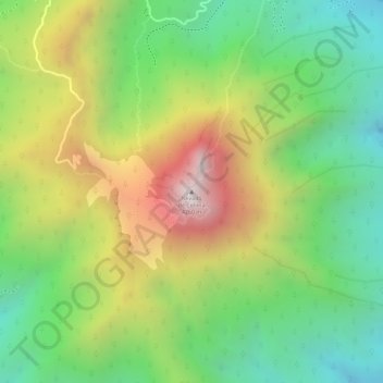
Name: Nevado de Colima topographic map, elevation, terrain.

Location: Nevado de Colima, Tuxpan, Región Sur, Jalisco, Mexico (19.56329 -103.60834 19.56339 -103.60824)

Average elevation: 3,758 m

Minimum elevation: 3,376 m

Maximum elevation: 4,253 m

Gear up for your next adventure:

🧴Insect Repellent - Protect yourself from bugs during outdoor adventures
Camping Tent - Weather-resistant tents suitable for 2 to 6 people
🪑Ultralight Camping Stool - Compact seating for rest stops during long hikes
👖Convertible Hiking Pants - Zip-off legs to adapt to changing weather conditions
🦶Anti-Blister Balm - Prevents friction and hotspots during long ascents

As an Amazon Associate, this site earns from qualifying purchases at no extra cost to you.